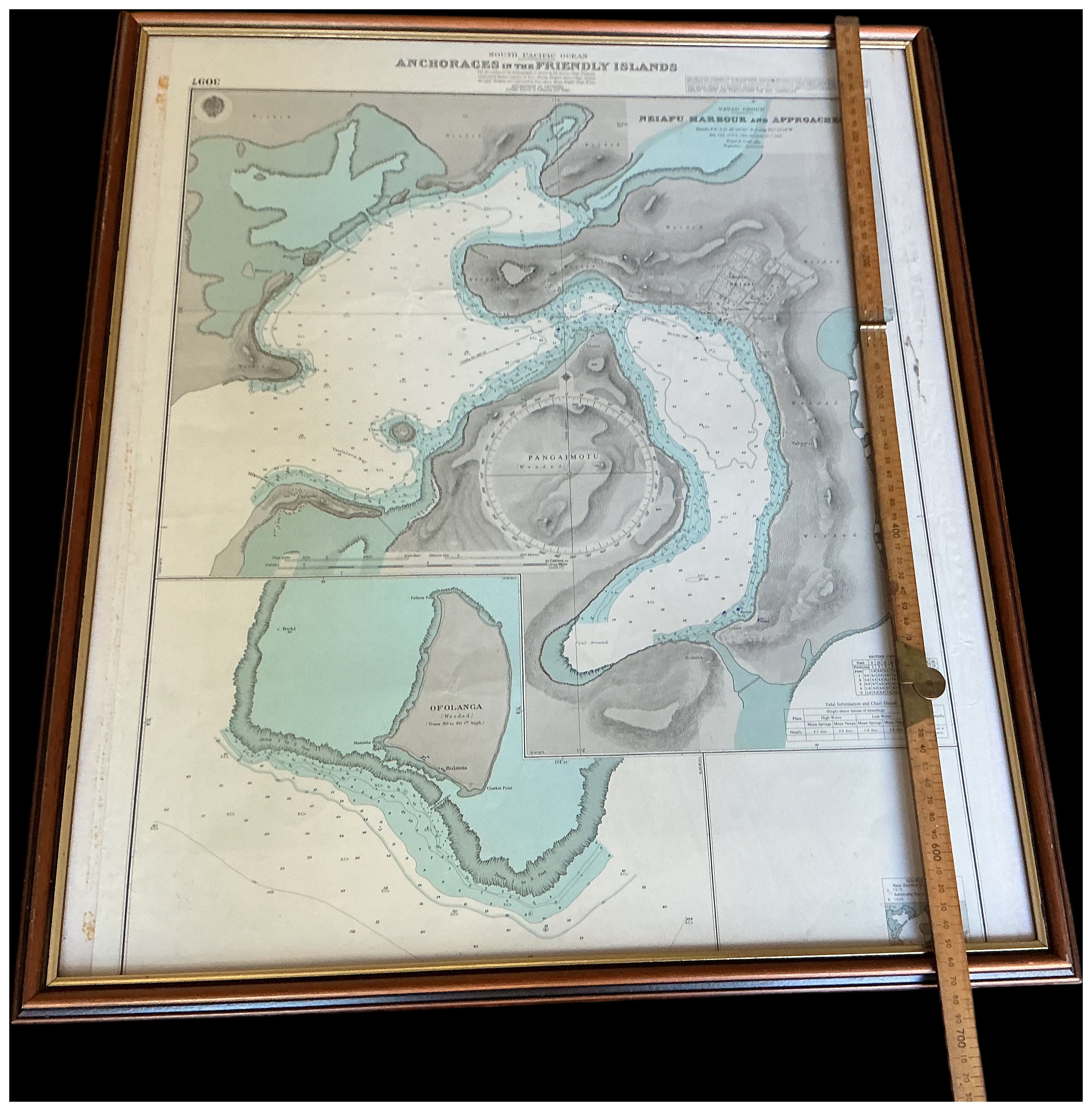
This is a framed British Admiralty nautical chart of the Friendly Islands, Tonga, in the South Pacific Ocean. The chart is titled South Pacific Ocean, Anchorages in the Friendly Islands and is designated as Admiralty Chart No. 3097. The document includes detailed hydrographic information such as soundings, depth contours, and coastal topography. It features several detailed insets, most notably Neiafu Harbour and Approaches and Ofolanga. Geographic features such as Pangimotu and various islets are clearly marked. The chart is produced on lithographed paper with green and blue tinted washes used to distinguish land and water masses. Official publication notes and a crest are visible in the lower right corner, identifying this as a New Edition. The piece is housed in a dark-stained wooden frame with a stepped profile and a gilt-effect inner slip, protected behind glass.
Height: 80 cm
Width: 63 cm.
Share this lot: