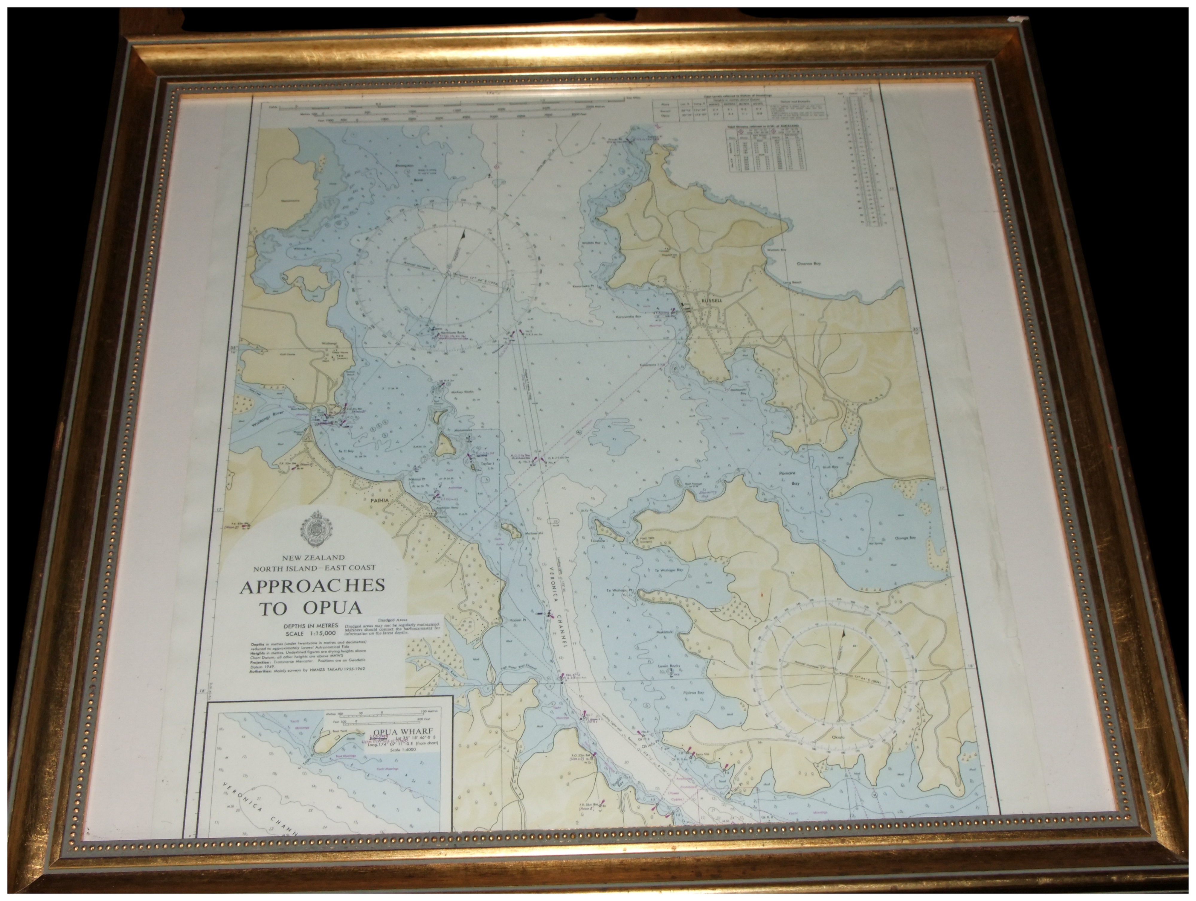
A printed nautical chart on paper depicting the Approaches to Opua on the East Coast of the North Island, New Zealand. The chart details the Bay of Islands region, including the coastal settlements of Russell and Paihia, with topographic land details, bathymetric soundings in metres, and two large compass roses.
A title block located in the lower left quadrant is printed with the text NEW ZEALAND NORTH ISLAND – EAST COAST APPROACHES TO OPUA. Below this, technical information states DEPTHS IN METRES and SCALE 1:15,000, and specifies that positions are on Geodetic Datum 1949. The authority note states the data is based on Mainly surveys by HMNZS TAKAPU 1959-1962. An inset map at the bottom left illustrates OPUA WHARF at a scale of 1:4000.
The chart is presented in a glazed gilt wood frame with a decorative beaded inner border.
Share this lot: