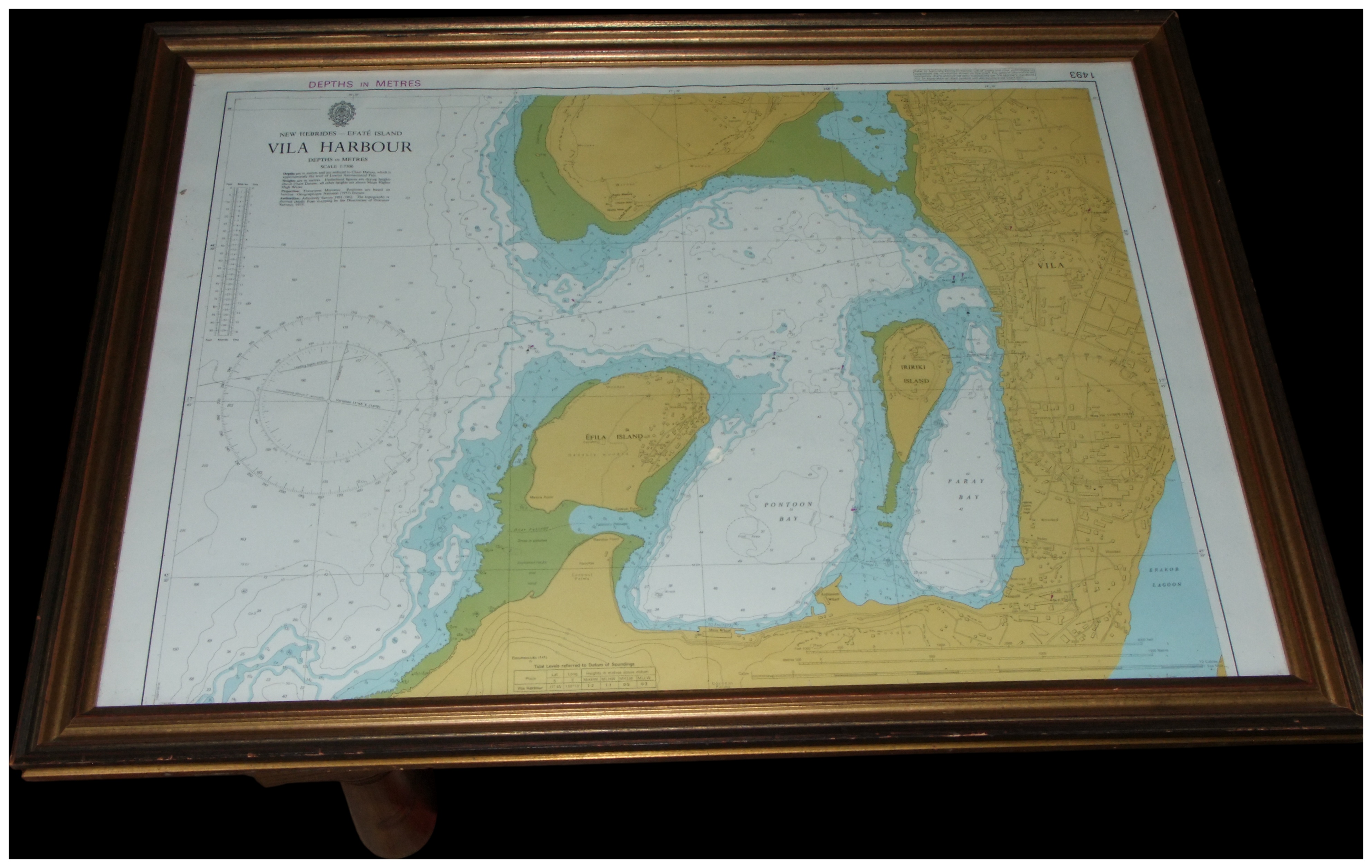
A mid-20th-century framed British Admiralty nautical chart of Vila Harbour, Efate Island, New Hebrides. The chart is a multi-colour print on a single sheet of paper, depicting landmasses in yellow and green with water depths shaded in varying tones of blue. The top centre is printed with the title NEW HEBRIDES – EFATE ISLAND VILA HARBOUR, followed by the sub-text DEPTHS in METRES and SCALE 1:7,500. A printed crest depicting a crown over a fouled anchor is positioned above the main title. The top left margin repeats the text DEPTHS IN METRES, and the top right corner is marked with the number 1493. Identified geographical locations include VILA, IFILA ISLAND, IRIRIKI ISLAND, PONTOON BAY, PARAY BAY, and ERAKOR LAGOON. A grid detailing Tidal Levels referred to Datum of Soundings is located at the bottom centre. The document is glazed and housed within a dark-stained wooden frame featuring a gold-toned inner slip.
Share this lot: