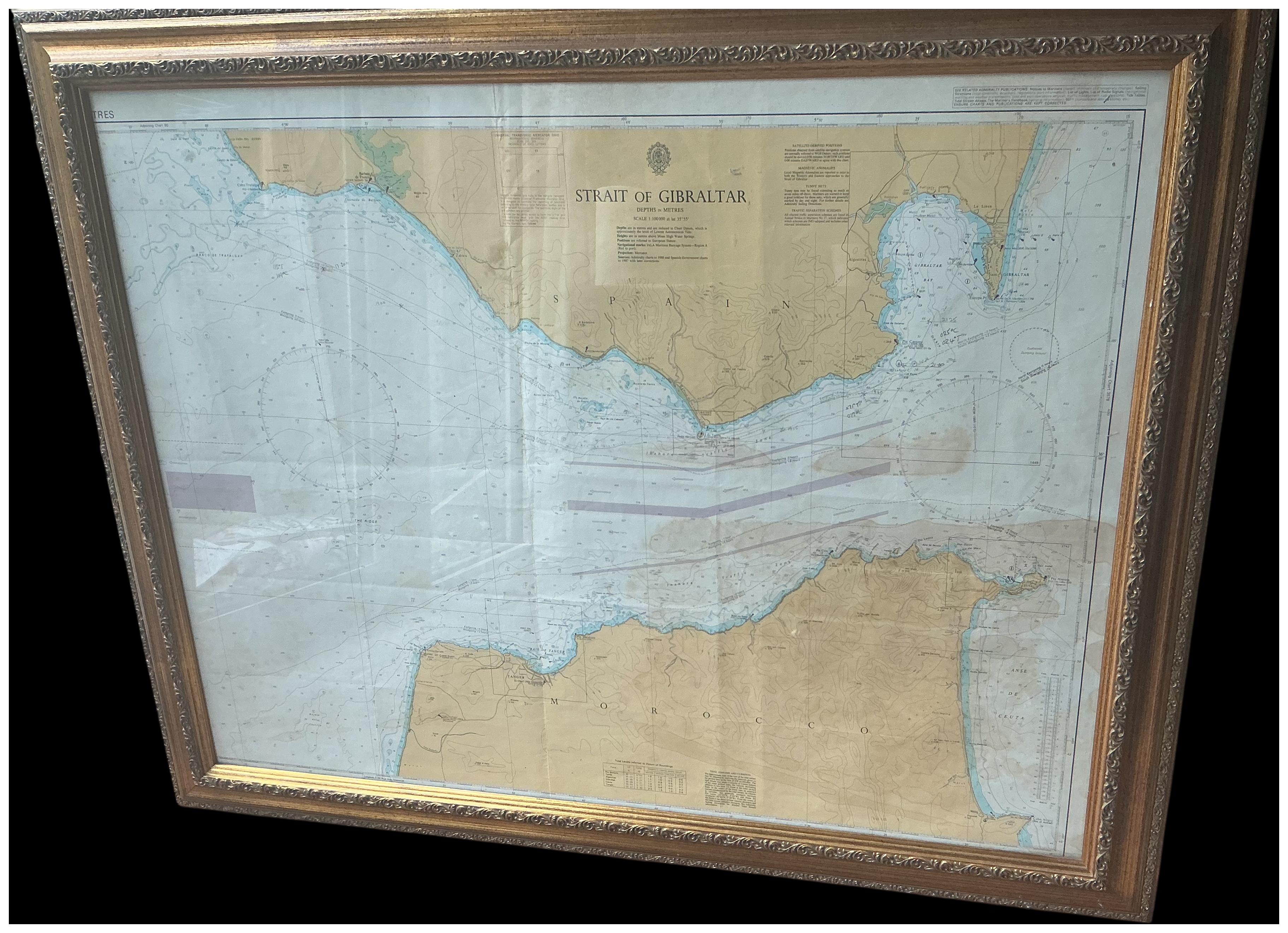
A large-format lithographed nautical chart titled Strait of Gibraltar, published by the British Admiralty. The chart bears the official crest of the British Admiralty at the top centre, featuring a crown above a fouled anchor. The legend below the title specifies Depths in Metres and a scale of 1:100,000 at latitude 35 degrees 55 minutes. The chart provides detailed bathymetric soundings, topographical details for the Spanish and Moroccan coastlines, and designated maritime traffic separation schemes. Geographical labels include Spain, Morocco, Gibraltar, Ceuta, and Tanger. The map includes various navigational tables, tidal information, and magnetic anomaly notes. Several hand-plotted navigational notations in ink or pencil are visible within the water areas. The piece is mounted in a heavily moulded gilt-wood frame decorated with acanthus leaf and scrolling motifs.
Width: 125 cm
Height: 95 cm.
Share this lot: