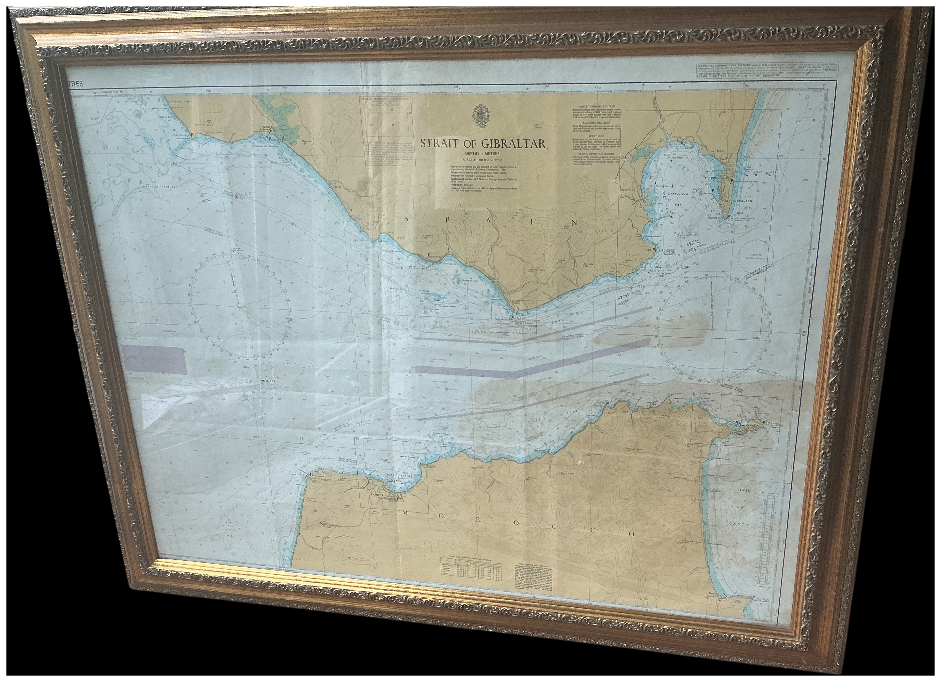
A large British Admiralty nautical chart titled Strait of Gibraltar, depicting the coastline of southern Spain and northern Morocco. The chart features the British Admiralty crest consisting of a crown over a fouled anchor at the top centre. Geographical details include the southern Spanish coast with Gibraltar and the northern Moroccan coast including Tanger (Tangier) and Ceuta. The map provides depth soundings in metres, two large compass roses, lighthouse locations, and marked shipping lanes in purple. Subtext at the top indicates Depths in Metres and a Scale of 1:100,000 at lat 35 degrees 55 minutes. Further instructional text in the top right margin refers to related Admiralty publications. The chart is glazed and presented in a substantial Victorian-style composite frame with a gilt finish, featuring scrolling foliate and shell motifs.
Width: approximately 115 cm
Height: approximately 88 cm.
Share this lot: