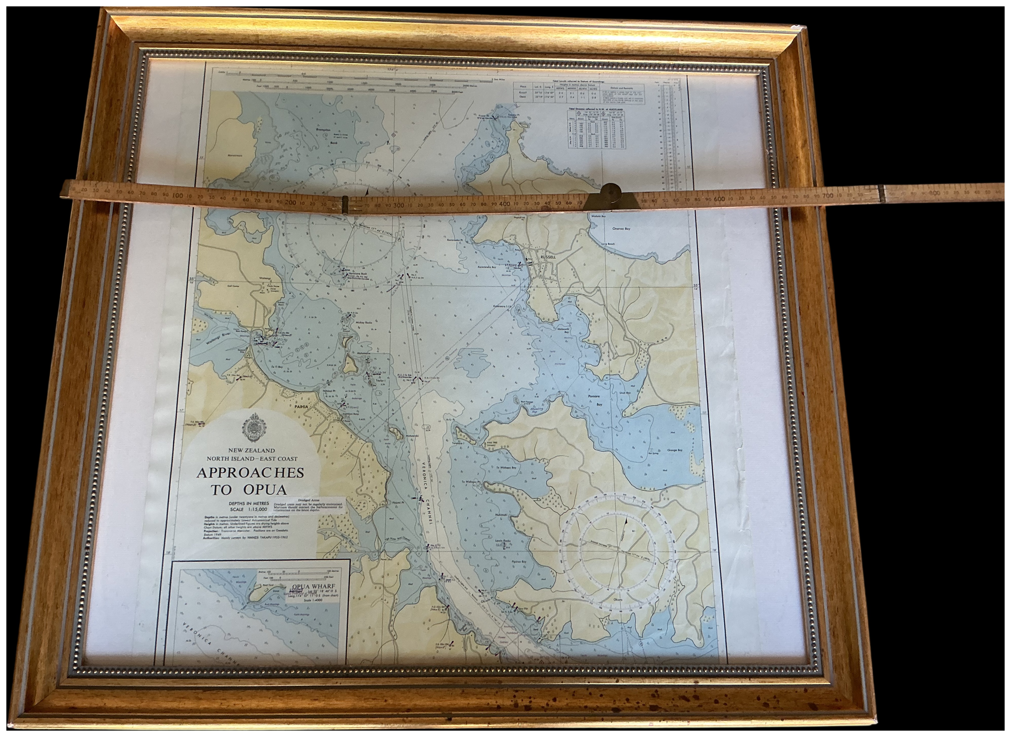
This lot comprises a professionally framed nautical chart of the Bay of Islands region and a vintage boxwood folding ruler. The printed chart is titled NEW ZEALAND NORTH ISLAND EAST COAST APPROACHES TO OPUA. The map depicts the coastal area encompassing Russell, Paihia, the Waitangi River, and the Veronica Channel. The main chart is set to a scale of 1:15,000 with depth soundings recorded in metres. A detailed inset map titled OPUA WHARF is located in the lower left corner with a scale of 1:4,000. The chart includes a tidal information table in the upper right, two large compass roses, and a Royal Crest above the title block. The chart is mounted and housed in a large gilt wood frame with a beaded inner border.
Frame width: 84 cm
Ruler length: 1 metre.
Share this lot: