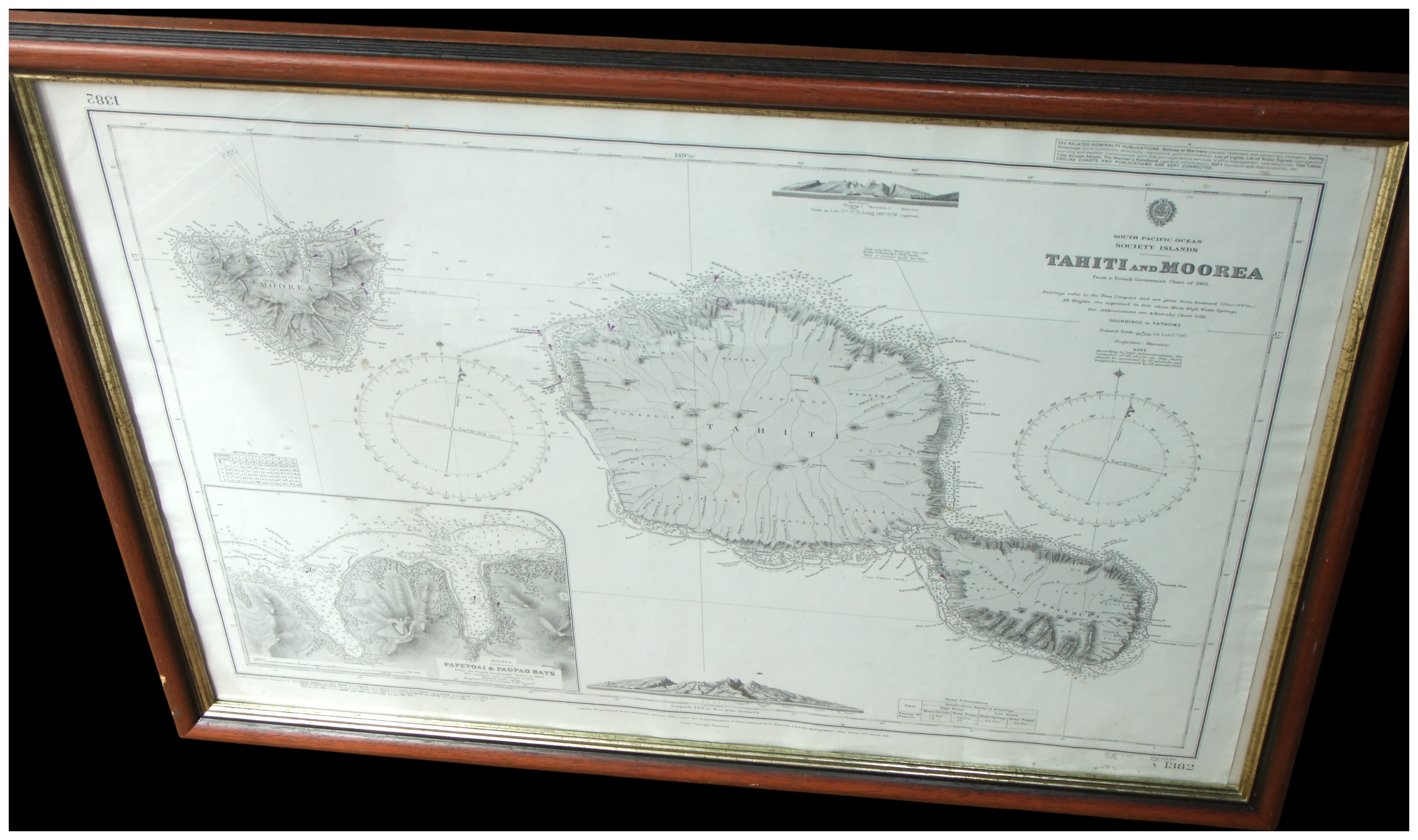
A large-scale framed British Admiralty nautical chart, number 1382, depicting the islands of Tahiti and Moorea in the South Pacific. The title, located in the upper right quadrant, identifies the subject as South Pacific Ocean, Society Islands, Tahiti and Moorea, noting it is from a French Government Chart of 1883. The chart features the British Admiralty crest at the top centre. This detailed engraving provides hydrographic data, including soundings in fathoms, alongside two large compass roses. Topographic relief shows the mountainous volcanic interiors of the islands. The chart includes two coastal profiles or views showing the islands’ silhouettes from the sea at the top and bottom centre. A detailed inset map at the bottom left depicts Papetoai and Paopao Bays on Moorea. The chart is presented in a traditional dark wood frame with a narrow gilt-metal inner slip and is glazed.
Width: 97 cm
Height: 70 cm (approximate).
Share this lot: